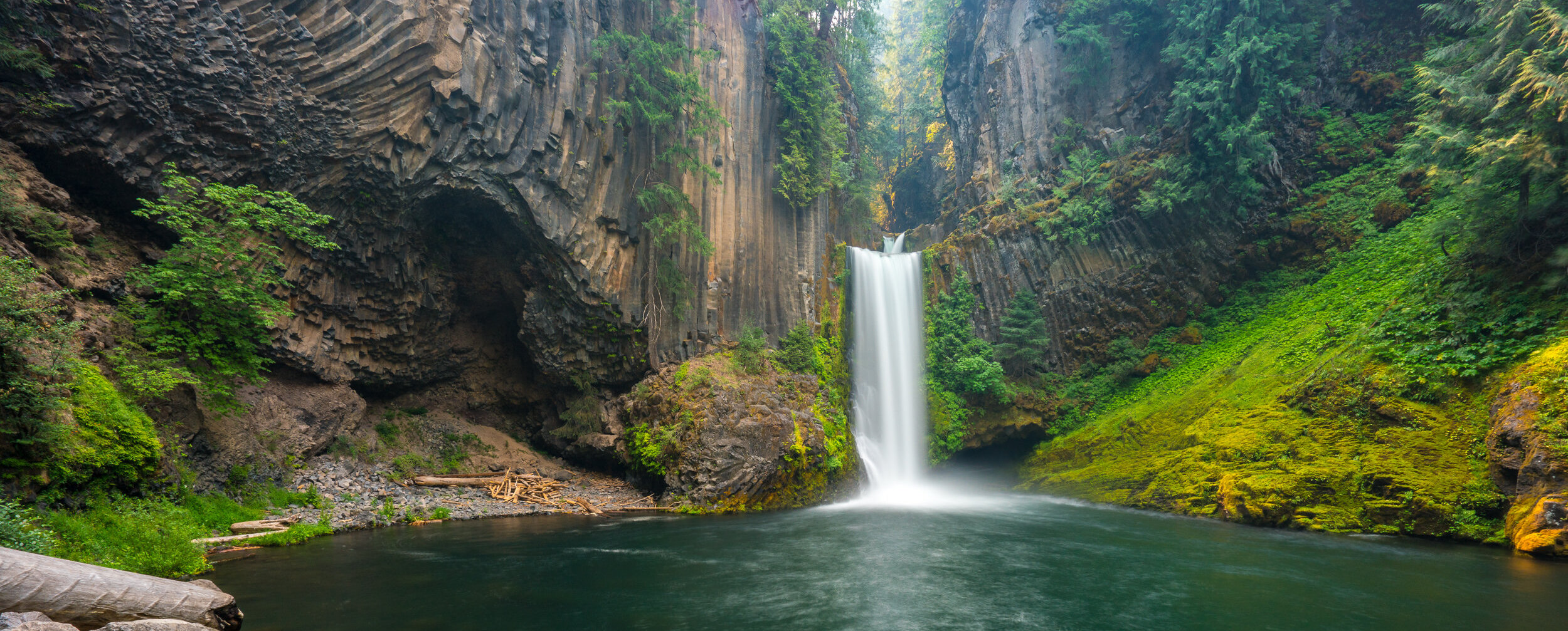
We’re so grateful that Steve, Marah’s dad, has shared with us his top recommendations for wandering, rambling and riding through Portland and the surrounding area. Take it away, Steve:
Portland and the surrounding countryside are blessed with wonderful places to walk. An essential tool for locating great places to walk and hike in the area, is the Oregon Hikers site. Once you have located the site, click on the Field Guide link and you will be transported to the Explore By Area map which covers much of Oregon and SW Washington. There are enough detailed trail descriptions, with high quality photos and maps, to last you a lifetime; but your challenge will be to find just the walks that suit you for your limited time here in Oregon. Here are a few suggestions to whet your appetite. We hope that you will be back again for longer visits where you may have the opportunity to walk with Marah and Nick in some of their favorite places!
City of Portland: Walks and Hikes
Forest Park
Marah grew up in Willamette Heights which is an old Portland neighborhood that is surrounded on three sides by one of the largest Forest Reserves in any American city. From her house (3326 NW Franklin Ct.) it’s about 2 ½ blocks to the Wildwood Trail which runs for 30 miles along the slopes of the Tualatin Mountains. Thirty miles might be a bit much for one day but there are numerous shorter segments that can be done in a few hours. Here are a few, many of which are loop hikes that will take you back to your point of beginning.
Holman Lane Loop: 2.3 miles
A short hike we recommend is the Holman Lane Loop that departs from the “Meadow” off NW Aspen Street a few blocks from Marah’s house. The Oregon Hikers site has you start at a higher location off of NW 53rd and then walk down for the loop. We find it much more appealing to start from the lower elevations and save the downhill for the return trip. The Oregon Hikers site map is excellent though and you can even see Marah’s house on the edge of the map if you look carefully. Feel free to call Marah’s dad or mom for any further directions.
Pittock Mansion: 5.7 miles
The trailhead for this hike is also about 10 minutes from Marah’s house just below the Thurman Street bridge. The first 1/2 mile follows Balch Creeks deep canyon past a fir tree that is reputed to be the tallest tree in the city, before switch backing up a steep wooded slope to Pittock Mansion. From here the whole city is spread out before you including a view of the confluence of the Columbia and Willamette Rivers. Snowcapped Mount Hood is dead ahead with other major Cascade Peaks including Mount Adams and Mount St. Helens visible to the NE. If you feel confidant in your urban navigation skills you can Google the Macleay entrance to Macleay/Forest Park (where you began your journey) and loop back to your point of beginning through the steep and winding streets of Kings Heights. Or, just retrace your steps following the Oregon Hikers map and route description.
Washington Park Loop: 3.9 miles
The City of Portland bills Washington Park as “the grand jewel of Portland” and it is certainly a beautiful spot and also draws large crowds in mid-summer. It is still definitely worth a visit. This short walk will take you through some of the highlight areas and also leads right past the Secret Garden where Nick and Marah have their “Game Day” scheduled. Use Google maps to find the Sacajawea Statue which is the point of beginning for this walk. Portland Hikers has a route description for this walk but Google Maps may be essential here as well.
From my perspective, if there is one “attraction” that is not to be missed in Portland, it’s the Japanese Garden which is located in Washington Park. It is internationally known and considered to be the most authentic Japanese Garden outside of Japan. It is a little spendy, but when you contemplate what it took to build and maintain the place you understand the price. It’s an amazing garden and not to be missed, if you have the time.
Eastside Walks
The East Side of Portland has a multitude of interesting neighborhoods and some outstanding parks as well, although most not on the scale of the West side parks. Particularly if you are staying on the east side the following are some great places to walk that are covered in detail on the Oregon Hikers site.
- Oaks Bottom Loop Hike: 3.8 miles
- Crystal Springs-Reed Canyon: 2.4 miles
- Mount Tabor: 2.0 miles
- Laurelhurst Lone Fir Loop: 3.1miles
Columbia River Gorge National Scenic Area: Hikes
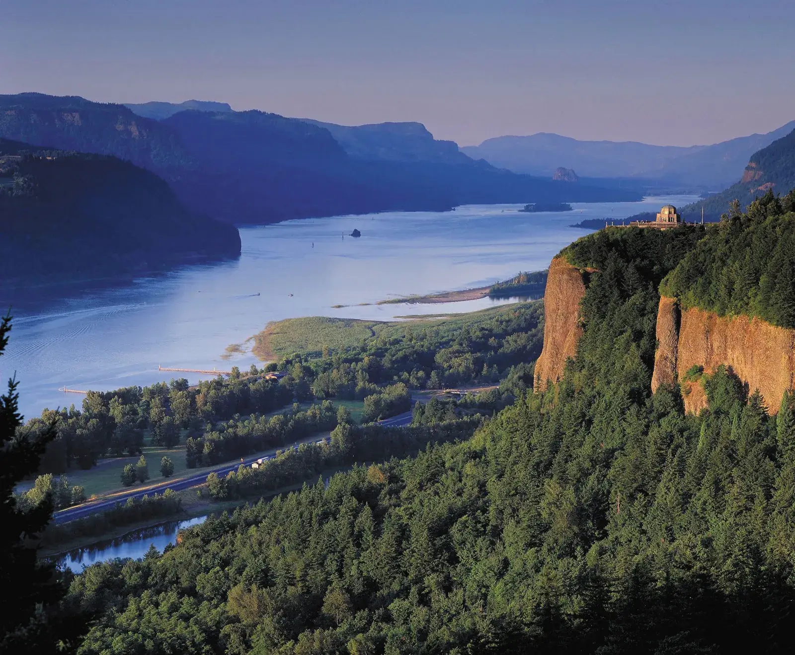
Further afield, with some of the best hiking opportunities in Oregon, you will find the Columbia River Gorge National Scenic Area. Many of the best trailheads are 45 minutes to an hour’s drive from Portland, so a car is essential for many of the more out of the way trailheads. There are car free transit options (buses and shuttles) to some of the more popular trailheads and recreation sites. The Forest Service website has a section on Scenic Area Car-Free Transport Options and would be good place to start if you want to visit and don’t have access to a car.
The Scenic Area website is a great place to go for an overall picture of what is available in the Gorge and to get the general lay of the land, but the Oregon Hikers site is still the best for complete information on each trail. There are scores of fantastic trails throughout the Scenic Area and enough off trail scrambles to keep one happy for a lifetime.
A couple of our favorite trails include:
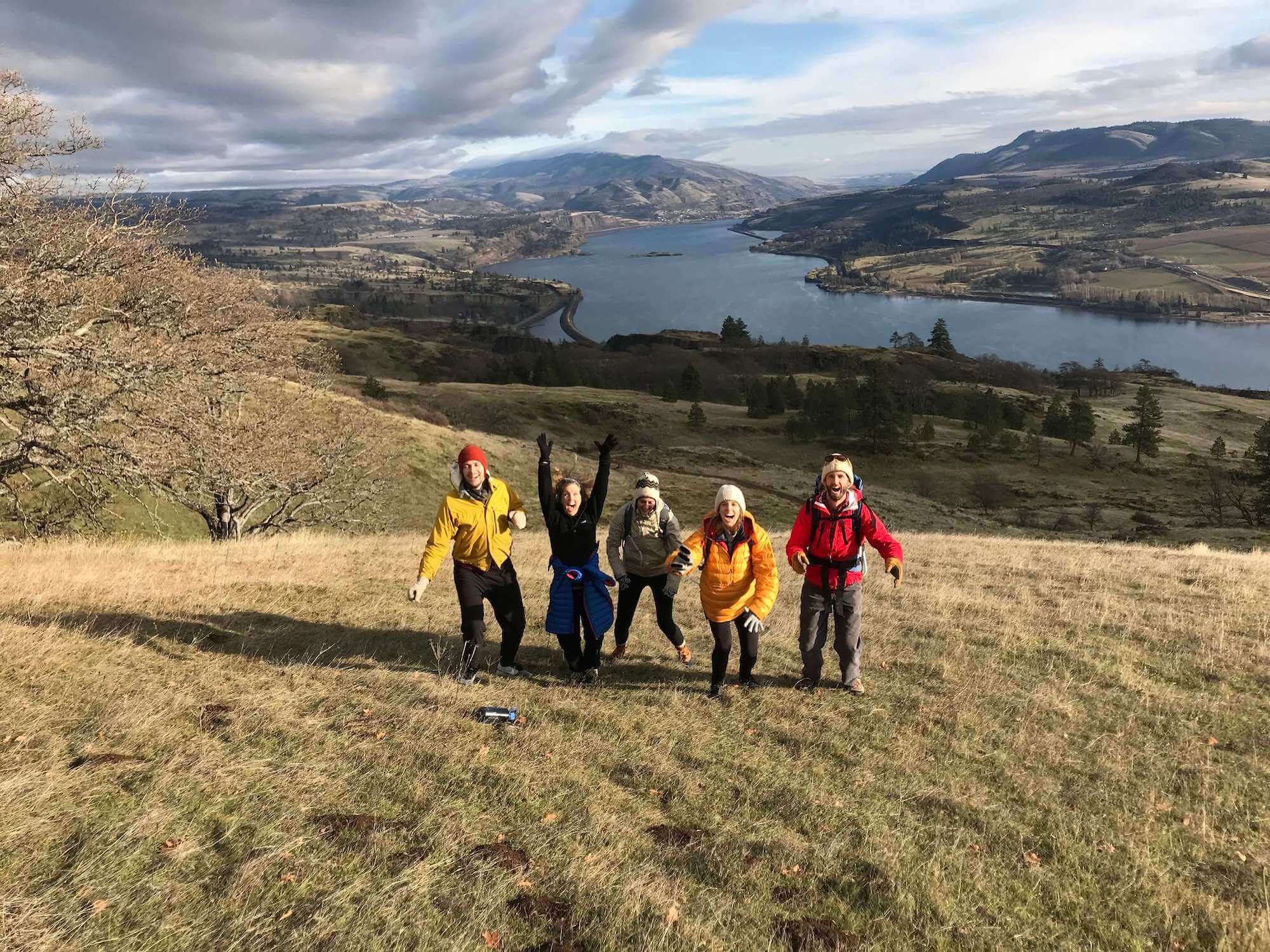
Tracy Hill Loop Hike: 6.1 miles
Located in the Catherine Creek Area on the Washington side of the Gorge this trailhead is some distance from Portland and it takes about an hour and 20 minutes to drive there from town. But it’s worth the long drive to reach one of the best wildflower areas in the Scenic Area, plus gorgeous views up and down the Columbia from the high point which is 1,840’ above the river.
Wahclella Falls Hike: 2.4 miles
Located fairly near Multnomah Falls on the Oregon side of the Columbia, this is a short hike that covers some of the “classic” west side Gorge scenery. Rivulets of water, streams and falls, mosses and wildflowers. It’s a relatively short, 45 minute drive from Portland. Check with the Scenic area staff to see if this may be one of the places that can be reached by bus or shuttle service if you don’t have access to a car.
Cycling in Portland
Portland is perennially listed as the best, or one of the best, cycling cities in the US. The city has an extensive system of bike routes and paths, as well as a cycle share system similar to the Santander Cycle Share system in London. If you are interested in riding and find yourself without your bike, just Google– Biketown Portland– for a complete rundown on how to use the Bike Share system, as well as suggestions for places to ride. I believe that all of the bikes are “peddle assisted” or e-bikes. Conventional road and mountain bikes are available to rent through some bike shops in town but may not offer the same convenience as the Biketown system.
Scenic Drives from Portland
If you are fortunate enough to have access to a car there are several half to full day trips that are well worth taking from Portland. Those of you who are traveling from Great Britain or other distant locals may want to consider renting a car for a day. I know from my own experience of traveling in England that adjusting to places where people “drive on the wrong side of the road” can be daunting. But once out of Portland, particularly if you are not traveling on a weekend, the traffic should be quite reasonable and the roads are mostly high grade.
Here are two of the best full day auto trips from Portland.
Hood River and Timberline Lodge:
Drive east through the Columbia River Gorge to Hood River on I-84 and then up through the Hood River Valley and around Mount Hood to Timberline Lodge, high on the slopes of Mount Hood at the 6,000’ level. Then loop back to Portland on Hwy 26. Round trip is 171 miles, use Google Maps for detailed driving instructions.
Scenic highlights include over 90 waterfalls in the Gorge including Multnomah Falls, “the most visited natural recreation site in the Pacific Northwest”. In other words, it can be crowded! If visiting mid week you should take the old highway through a good portion of the Gorge and stop at the numerous other waterfalls and trailheads along the way. On a crowded summer weekend you may just want to enjoy the view from your car on I-84 and save your stops and walks for other spots in the Hood River Valley or up on Mount Hood.
The town of Hood River is worth a stop with a very scenic location and a number of good restaurants. It’s one of the worlds best wind surfing spots due to the unique geography of the Gorge. Over untold millenniums, the Columbia River carved the 90 mile Gorge, through the heart of the Cascade Range creating a near sea level pass through one of America’s great mountain ranges. This is the only spot in the whole range, which stretches from the Canadian border all the way to California, where such conditions exist. This creates a wind tunnel effect that in summer, creates very strong east winds, which in turn attracts wind surfers from all over the world.
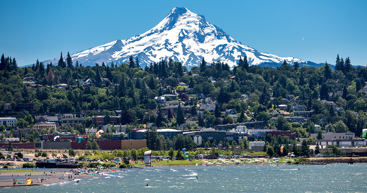
Leaving the town of Hood River and the Columbia River behind you will follow Hwy 35 in a southerly direction on a meandering route through the bucolic Hood River Valley, one of the premiere fruit growing regions in Oregon. The views of the rugged north side of Mt. Hood are outstanding. Eventually the road circles all the way around to the south side of the mountain and then ascends 2,000 vertical feet to Timberline Lodge.
The massive lodge, a National Historic Landmark, was completed by local artisans at the height of the Great Depression 86 years ago. It is Oregon’s most iconic building and defiantly worth a visit. By early July, in a typical year, there will still be patches of snow around the lodge and an assortment of alpine flowers coming into bloom. The Timberline Trail is a 40 mile loop that incircles the whole mountain near the 6,000’ level. If you have time, and are so inclined, you can walk east towards White River, or West towards the Zig Zag Canyon for a few miles in either direction to get a feel for this beautiful alpine environment. Who knows? Maybe you will be back some day to backpack around the whole trail for a classic Oregon experience.
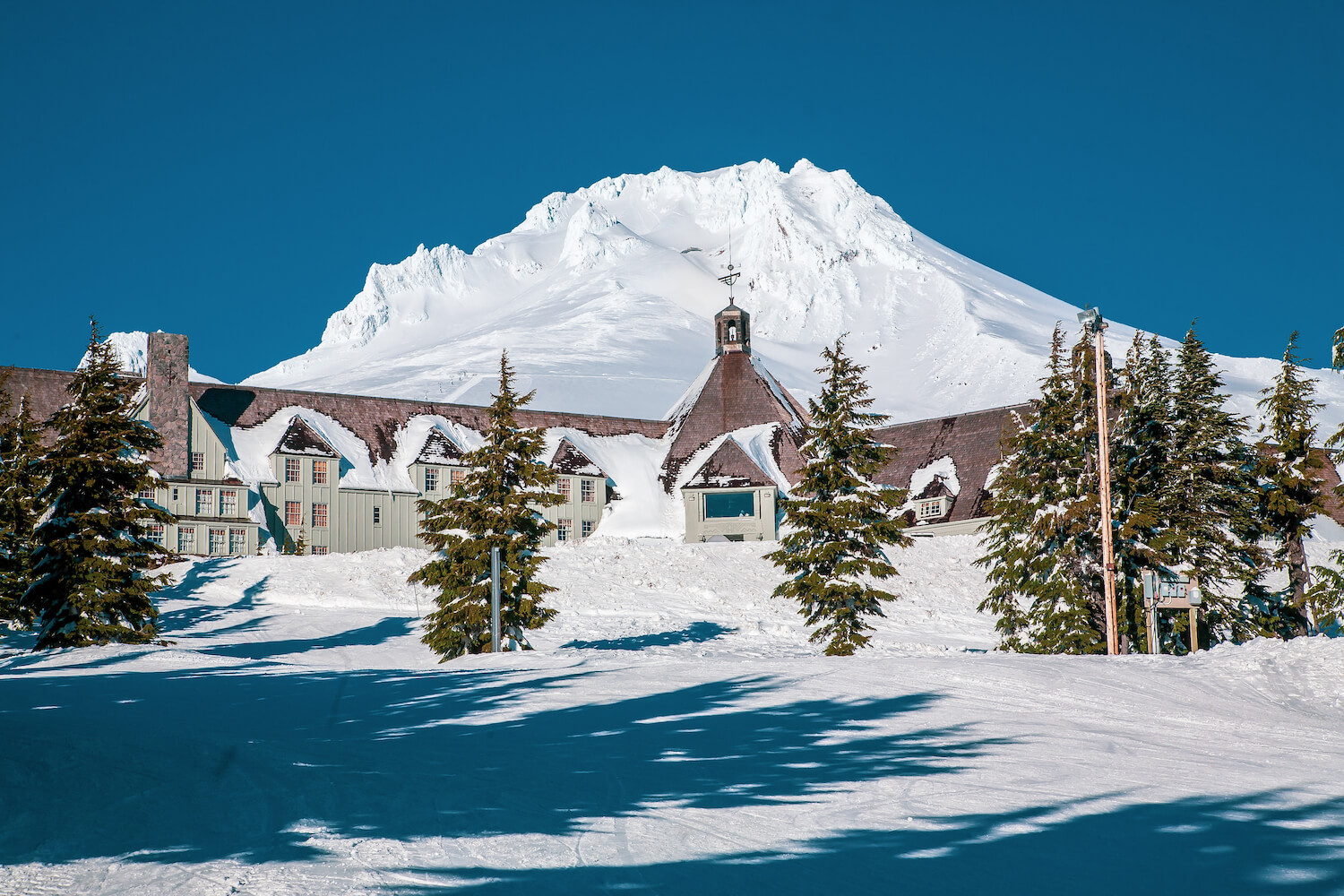
The lodge won’t be covered in snow in July, naturally
From the Lodge it is about an hour drive back to Portland, west on Hwy 26. Compared to the route that you have been traveling the scenery is quite ordinary.
The Oregon Coast: Cannon Beach, Neahkahnie Mountain and Manzanita
Drive west from Portland on Hwy 26 and then over the Coast Range to the Pacific at Cannon Beach. Then south along the coast to Neahkahnie Mountain and Manzanita. Round trip is approximately 168 miles.
The 363 mile Oregon Coast is arguabley the most beautiful coastline in America, and thanks to the farsightedness of visionary Governor Oswald West, the entire shoreline has been in public hands since 1913. Cannon Beach, is one of the closest Northern Oregon beaches, and can be reached from Portland in about an hour and 20 minutes. It’s a beautiful spot, but can be quite crowded in mid-summer and the charming town can be a bit over run on a weekend. I would suggest continuing south for an additional 14 miles to Manzanita. The highway will take you over the flank of Neahkahnie Mountain which is one of the more beautiful spots on the whole Oregon Coast. Be sure to stop at one of the pullouts off the highway for a spectacular view south to the mouth of the Nehalem River. The turn off to Manzanita is a couple of miles south of the viewpoints.
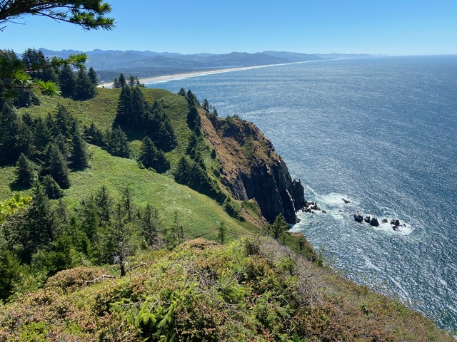
There are two wonderful hikes in the area. One climbs to the top of Neahkahnie Mountain from a trailhead near the highway pull off. The top of the mountain is one of the highest points on the whole coast. The other trailhead is two miles north near Short Sands beach. This hike passes through a gorgeous old growth forest out to the rugged coastal headland of Cape Falcon. (See OregonHikers.org for detailed trail directions).
The town of Manzanita sits near the base of Neahkahnie Mountain. There are a couple of restaurants, a good bakery, and an “old school” general store if you are in need of provisions. For the best beach hiking, proceed south from the little town past the “Golf Links” to Nehalem Bay State Park. From several places in the park you can reach the shoreline where you can walk for miles down the beach to the North Jetty on Nehalem Bay. This is usually a fairly lonely place after you get a mile or so past the access parking.